
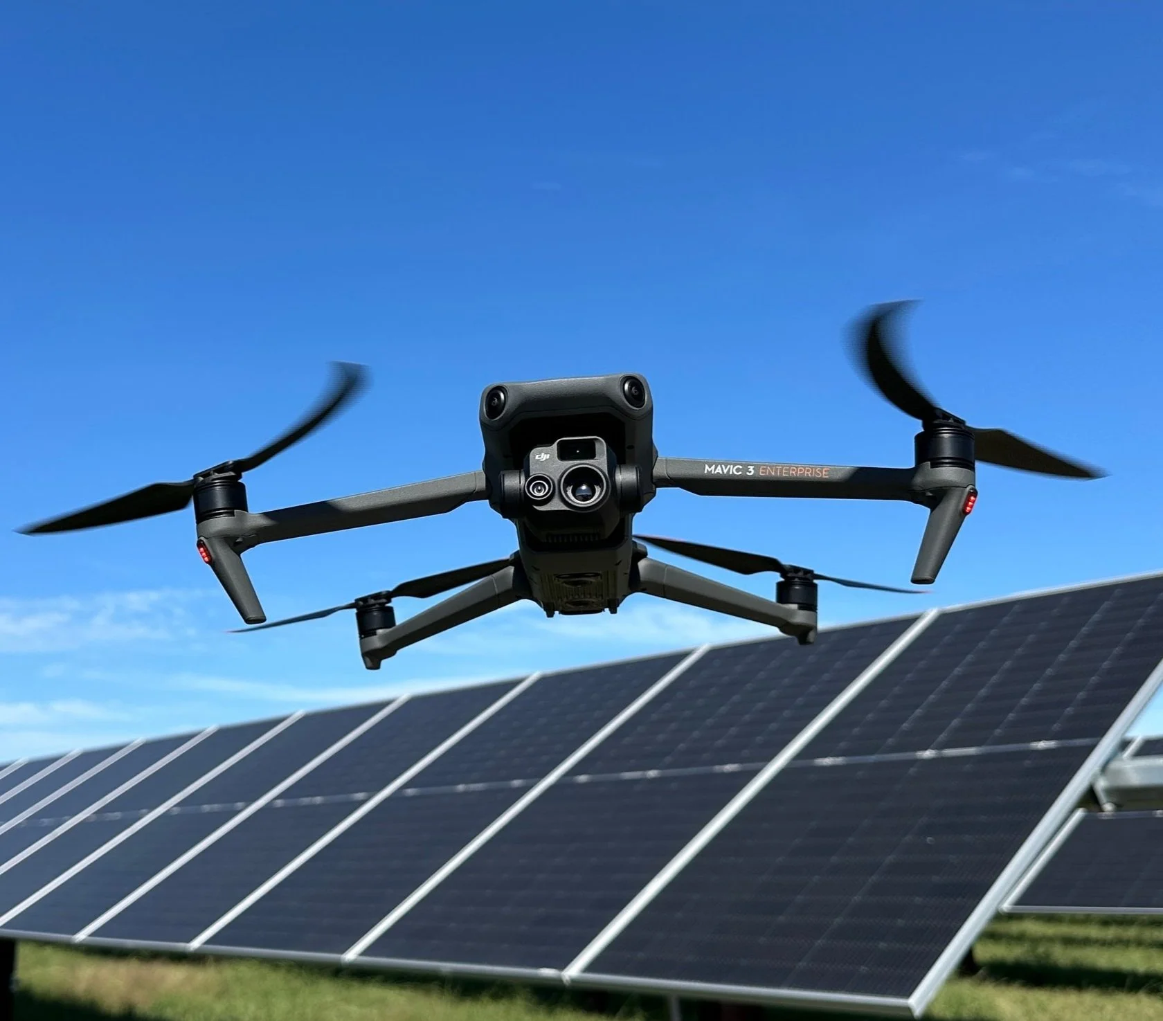
Aerial mapping, thermal inspection & 3D site modeling
RTK/PPK geospatial data acquisition and photogrammetry for construction, solar, and telecom projects. Field-verified accuracy, delivered on your timeline.
What we deliver
Data collection and processing built around what your team actually needs to plan, track, and manage a project.

Aerial Mapping & Photogrammetry
RTK/PPK-referenced imagery processed into orthomosaics, DEMs, and volumetric reports for construction and land development sites.
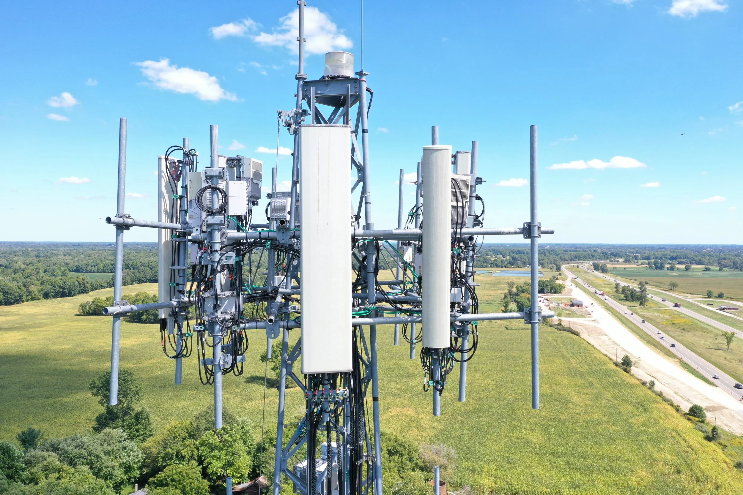
Thermal & Visual Inspection
Solar array, telecom tower, and infrastructure inspection with radiometric thermal imagery and high-resolution visual capture.
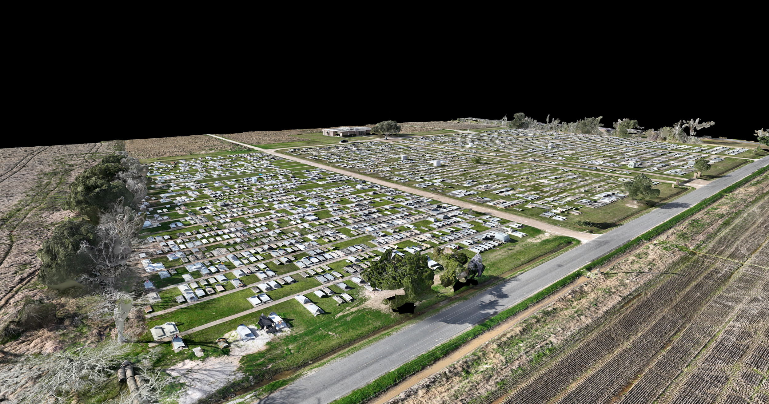
3D Models & Digital Twins
Interactive 3D models for construction progress tracking, site visualization, and team coordination across a project's lifecycle.
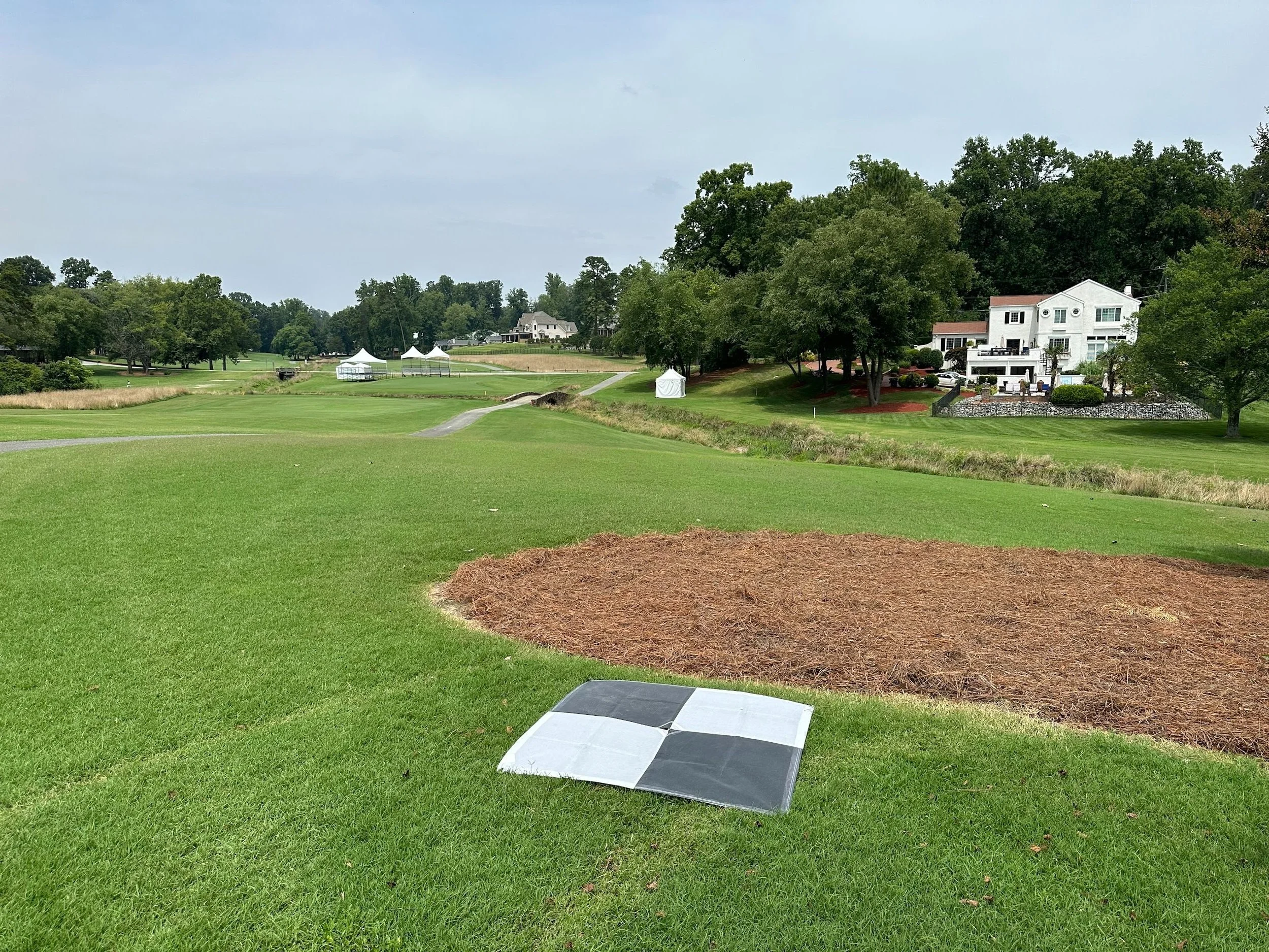
GNSS Aerial Target Placement
RTK-surveyed ground control points to support drone and manned flight operations requiring precise georeferencing.
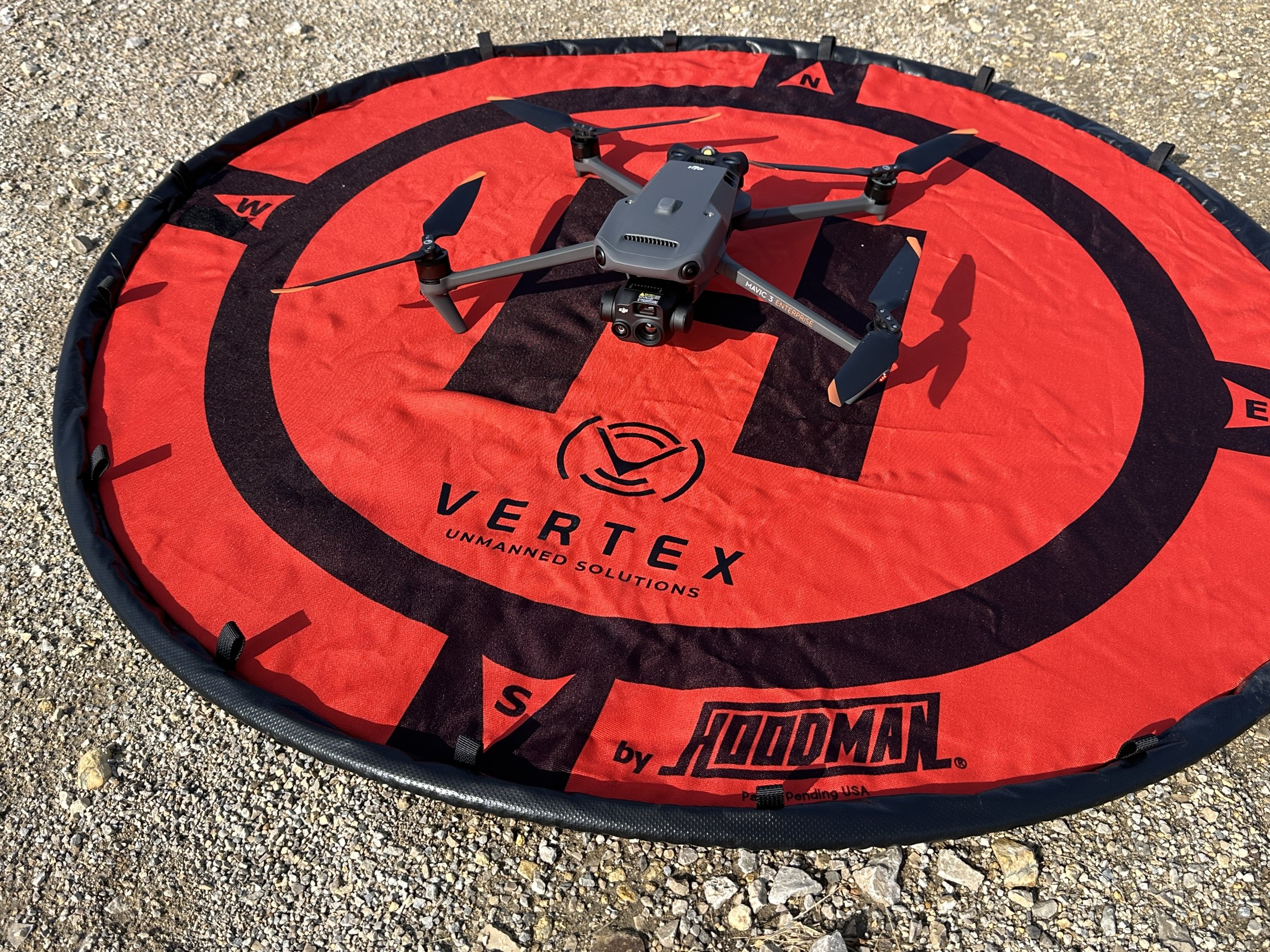
Field-ready fleet
Enterprise-grade aircraft and survey-support GNSS hardware, maintained and flown by one operator.
- DJI Matrice 4EMAPPING / RTK
- DJI Mavic 3EMAPPING / RTK
- DJI Mavic 3TTHERMAL
- Emlid Reach RS3 (x2)GNSS BASE / ROVER
- Coordinate referenceNAD83(2011) / NAVD88
- CertificationFAA PART 107
Locally owned. Field tested.
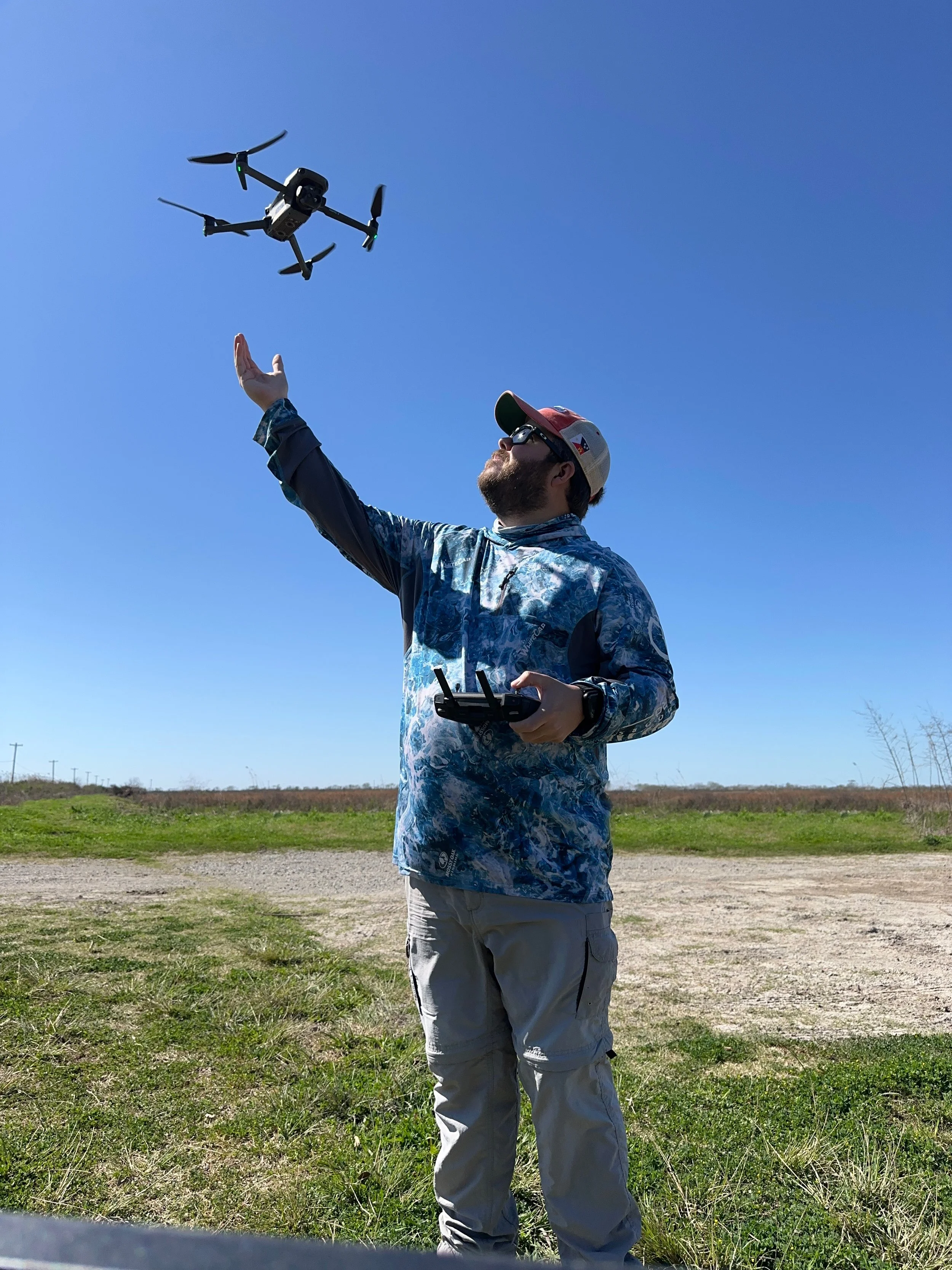

Slick's Drone Services is operated by Charles Schlicher Jr, based in Crowley, Louisiana. Six years flying, with the past three focused on commercial mapping, inspection, and data acquisition for construction, solar, and telecom clients across Acadiana and beyond.
Every job runs on the same RTK/PPK workflow, using known ground control and standard coordinate systems, so the data holds up whether it's feeding a construction schedule or a client's internal review.
-
01
FAA Part 107 Certified
Licensed commercial remote pilot, current and in good standing.
-
02
$1M Aviation Liability Coverage
Insured for commercial operations, including automated and BVLOS-adjacent missions.
-
03
Six Years Flying, Three Commercial
Field experience across mapping, inspection, and survey-support work in multiple states.
-
04
RTK/PPK Ground Control
Dual Emlid Reach RS3 receivers for base/rover setups on every mapping mission.