Our Story
Slick's Drone Services was built on one principle: show up prepared, collect clean data, and deliver what the client actually needs.
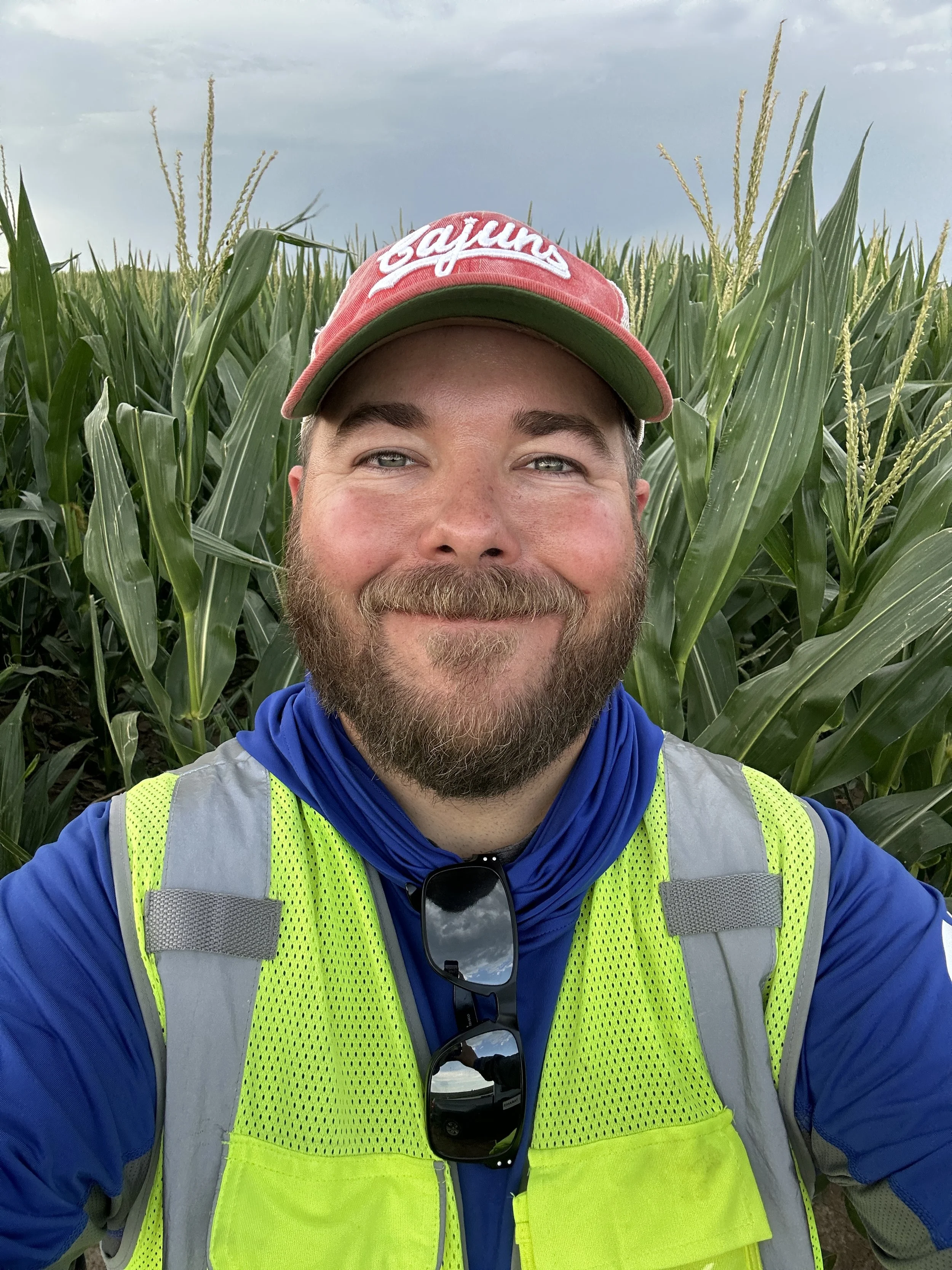
Charles Schlicher Jr. founded the company out of Crowley, Louisiana after years of field experience supporting licensed survey professionals across the country. That background, running RTK/PPK workflows, placing and verifying ground control, and collecting georeferenced photogrammetry data on industrial, construction, infrastructure, and utility projects, is what sets this operation apart from a generalist drone service.
From Louisiana and Texas to Florida, Tennessee, Nebraska, and beyond, Charles has deployed in environments where the data has to be right the first time. That same standard applies to every project, whether it's down the road in Acadiana or a flight away.
Our platform includes the DJI Matrice 4E, DJI Mavic 3E, and DJI Mavic 3T, backed by dual Emlid Reach RS3 multi-frequency GNSS receivers and Agisoft Metashape for photogrammetry processing.
If your project needs a professional who understands the workflow from ground control to final deliverable, let's talk.